



UK Met Office forecast data is now available free to all Orca users, with animated weather, tides and currents overlaid directly onto charts
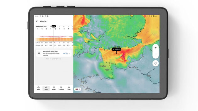
Orca users can now passage plan and navigate with animated weather, tide, and current information overlaid directly on charts following a major upgrade.
The Norwegian navigation system company is also making the UK Met Office‘s forecast models for British waters free to all Orca users as well.
“Historically, boaters have been forced to navigate with one system and check the weather on a different device,” said Jorge Sevillano, CEO and co-founder of Orca. “The weather is half of every decision you make on the water, and it belongs in your primary navigation system, not as a separate app on a separate device. And the best data should be free, because compromising on forecast quality is the one thing no boater should ever have to do.”
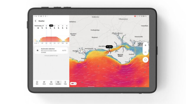
The update means sailors can see how currents change over time directly on the chart. Credit: Orca
Planning a trip in UK waters means planning around tides and currents. Whether timing a Solent passage, working the ebb through the Needles, or crossing the Channel, currents can significantly affect both arrival time and comfort.
Orca’s new weather experience shows how currents change over time and allows boaters to cross-reference them against wind and waves directly on the chart.
Most traditional chartplotters display only charts, leaving boaters to switch between multiple tools and devices to make informed decisions.
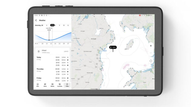
The animated tidal function will allow sailors to better time a harbour approach. Credit: Orca
Orca’s update overlays high-resolution weather forecasts directly on the navigation chart. Animated weather layers then show how weather systems move and develop over time, letting boaters see if they are close to a weather front or if conditions in their region are stable. Wind, rain, waves, currents, and tidal heights are all displayed.
Free and Plus Orca members will receive forecasts up to 5 days. Orca’s Smart Navigation plan unlocks forecasts up to 10 days and manual model selection.
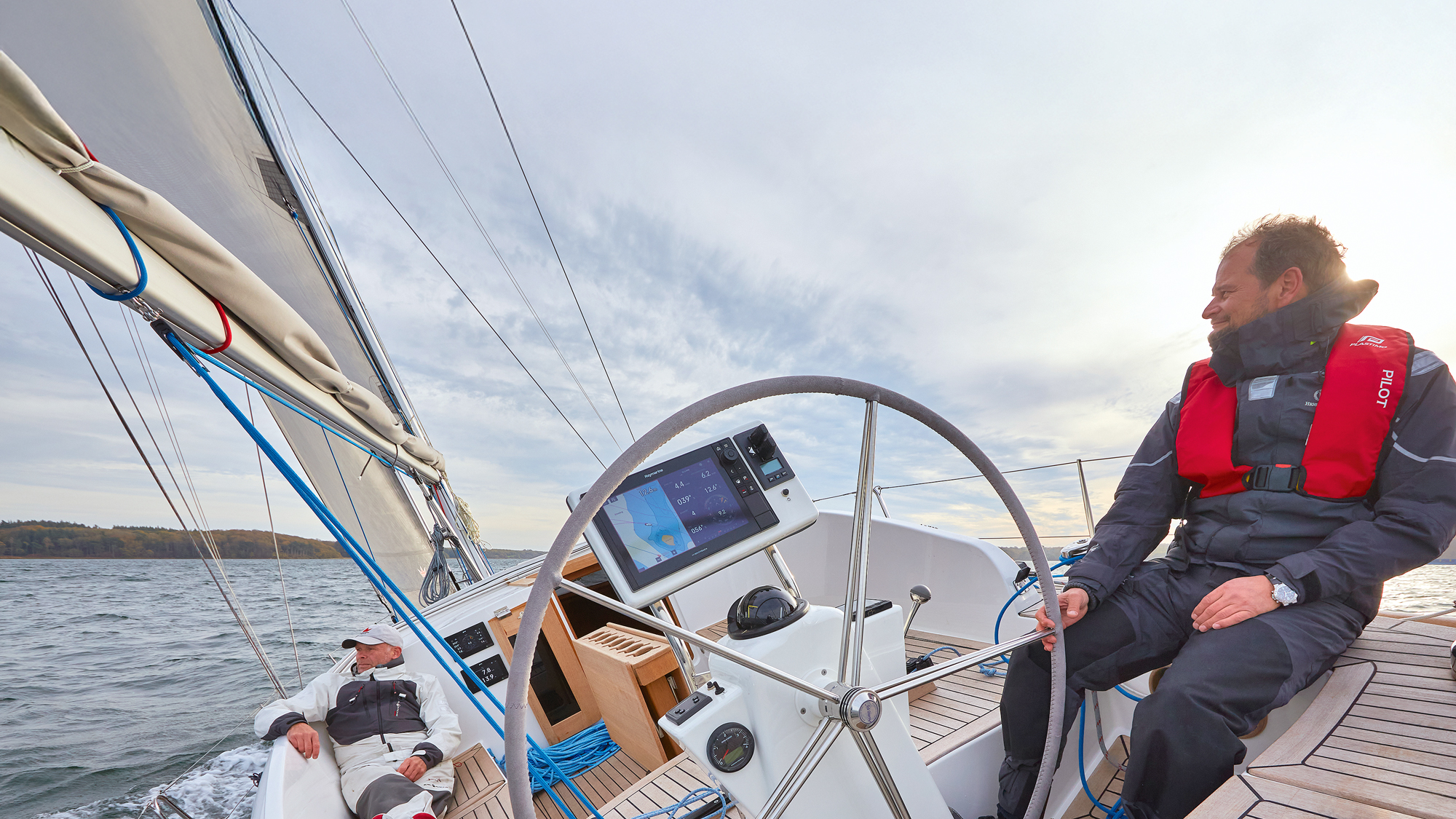
Get the most out of your chartplotter with these setup tips
How often do you stop and really sit down with your chartplotter? Navigators are necessarily tunnel visioned once under way:…
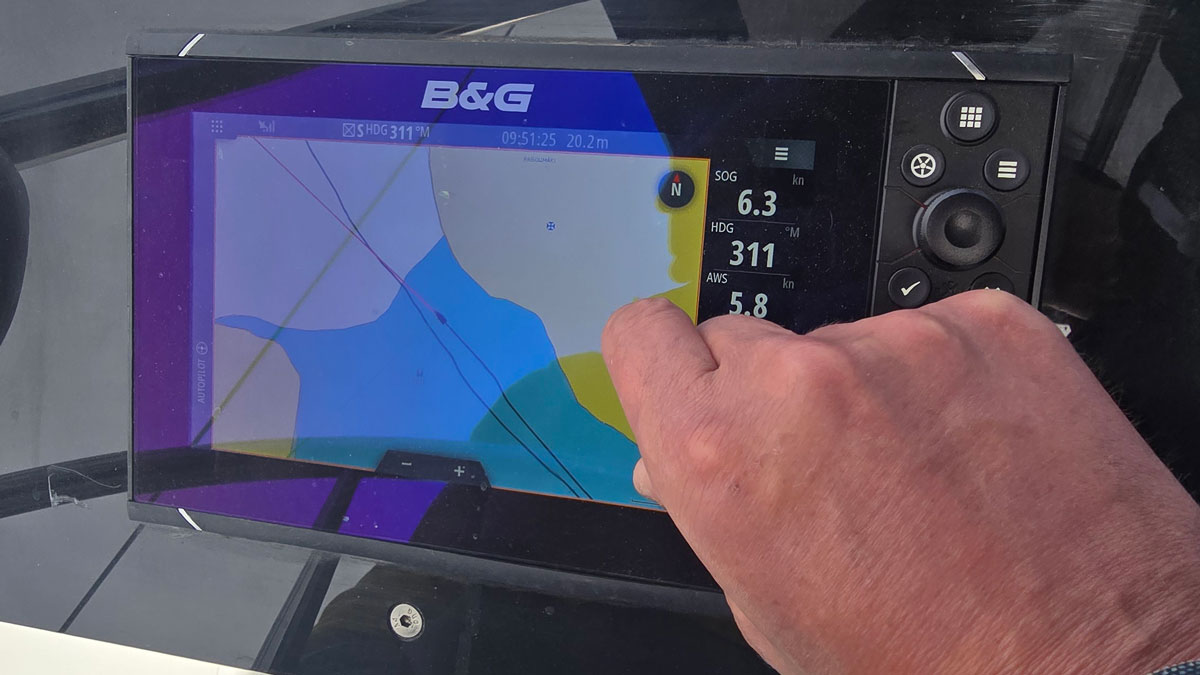
A beginner’s guide to the chartplotter
Whether you’re new to boating or looking to enhance your navigation with a phone, tablet or MFD, Ali Wood runs…
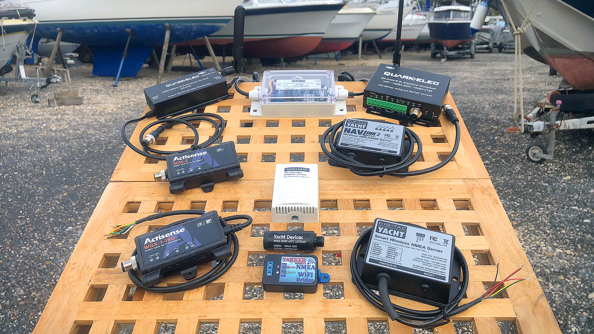
We tested 10 wifi gateway options under £250 to find the best smartphone navigation system
With modern tablets and smartphones becoming an increasingly popular choice for electronic navigation, we investigated the core of any onboard…
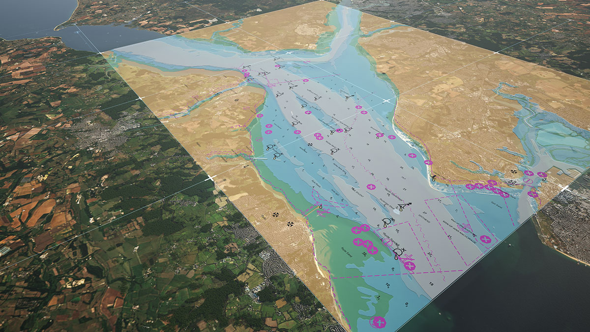
What is S-100 and how will it affect the future of electronic charts?
“S-100 is indeed a great step forward. However, it does not promise any new chart data in the areas where…
What gear has impressed you most?

Follow Practical Boat Owner on Facebook, Instagram, TikTok and X